

As autumn approaches, so does harvest season, and after last year’s extremely wet September and October, farmers are hoping the fields will stay dry this time to make their operations smoother.
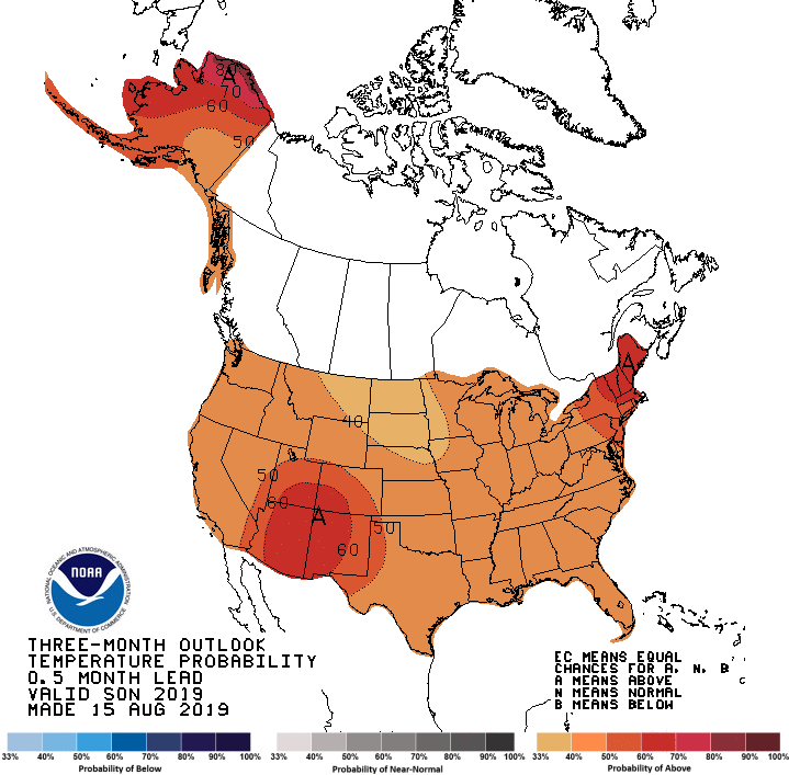
State Climatologist Justin Glisan says there are several tools meteorologists use to predict long term trends in the atmosphere, and the most commonly known to the general public is El Niño and La Niña cycles. Those are determined by trade winds in the Pacific Ocean, which impact jet streams globally. Glisan says the weak El Niño cycle in place earlier this year is gone, “We are now in what we call ENSO neutral conditions. And typically when you see ENSO neutral conditions looking at analog years, fall typically should be, if the behavior of the jet stream is correct and corresponds with what we see in previous years, we should have a warmer than normal autumn. And this looking at October in analog years, an ENSO neutral signal typically means a warmer October, which would be great for our farmers.”
Glisan says it’s still a bit too early to determine what winter will look like in 2019-20, but the long-range forecast from the Climate Prediction Center will become more clear with time. Autumn is predicted to be slightly warmer than normal, with equal chances for less or more precipitation than average.