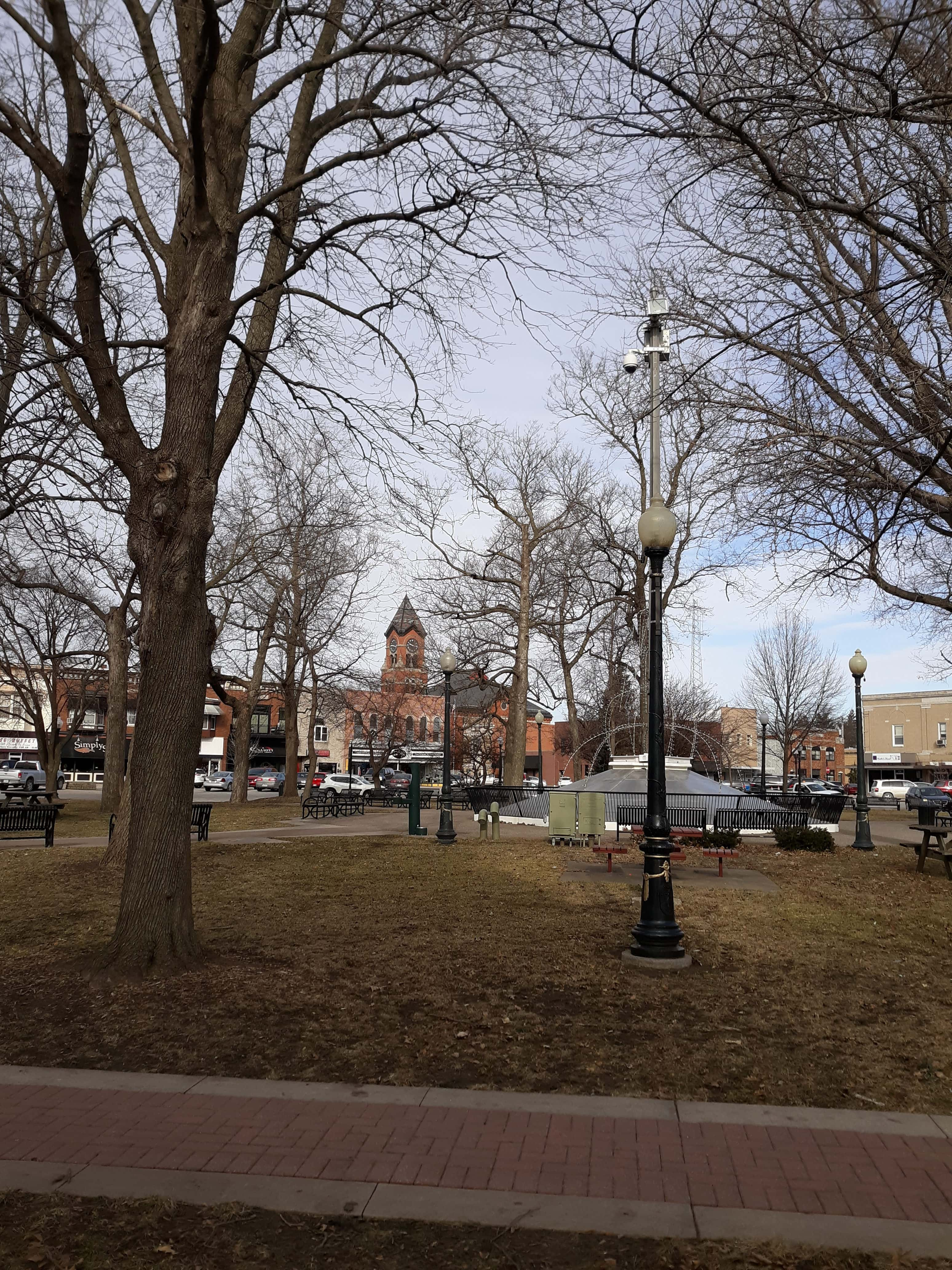
Washington saw temperatures fall 40 degrees in 15 hours Sunday afternoon into Monday morning. Approximately half an inch of rain fell in Washington on Sunday and there was hail a quarter-inch in diameter in Wayland. Monday was a blustery day with winds reaching 30 miles per hour.
State Climatologist Justin Glisan said 2018 and 2019 will be studied for a long time, and shares what outlooks are showing for this spring, “Over those two years, 2018 and 2019 were actually, if you take those two calendar years together, the wettest two years on record for the State of Iowa. So, we’ve had really wet conditions. And then within those years we’ve had a lot of see-sawing. So, the behavior that we’ve seen recently, it’s acting more like Iowa should act, which does make me feel a little better than where we were last year at this time.”
High temperatures the rest of the week are expected to be in the mid-40’s with overnight lows below freezing. Temperatures are expected to climb back up into the 60’s over the weekend. Listen to KCII for weather updates.

