

Hot and humid conditions will linger across eastern Iowa through mid-week. The National Weather Service states afternoon highs are expected in the low to mid-90s with dew points in the upper 60s to low 70s will create heat index readings around 100 degrees.
Meteorologist Peter Speck with the National Weather Service out of the Quad Cities says to look forward to the weekend, “The good news is though as we head through the latter part of the week, we should start to see a bit of a cool down. But temperatures will still be pretty warm in the low to mid 90s at times through at least Friday. And then by Saturday is when we will start to see some relief as a cold front makes its way towards the area, by then we should see highs only in the low-80s. So, that’ll be a really nice bit of relief.”
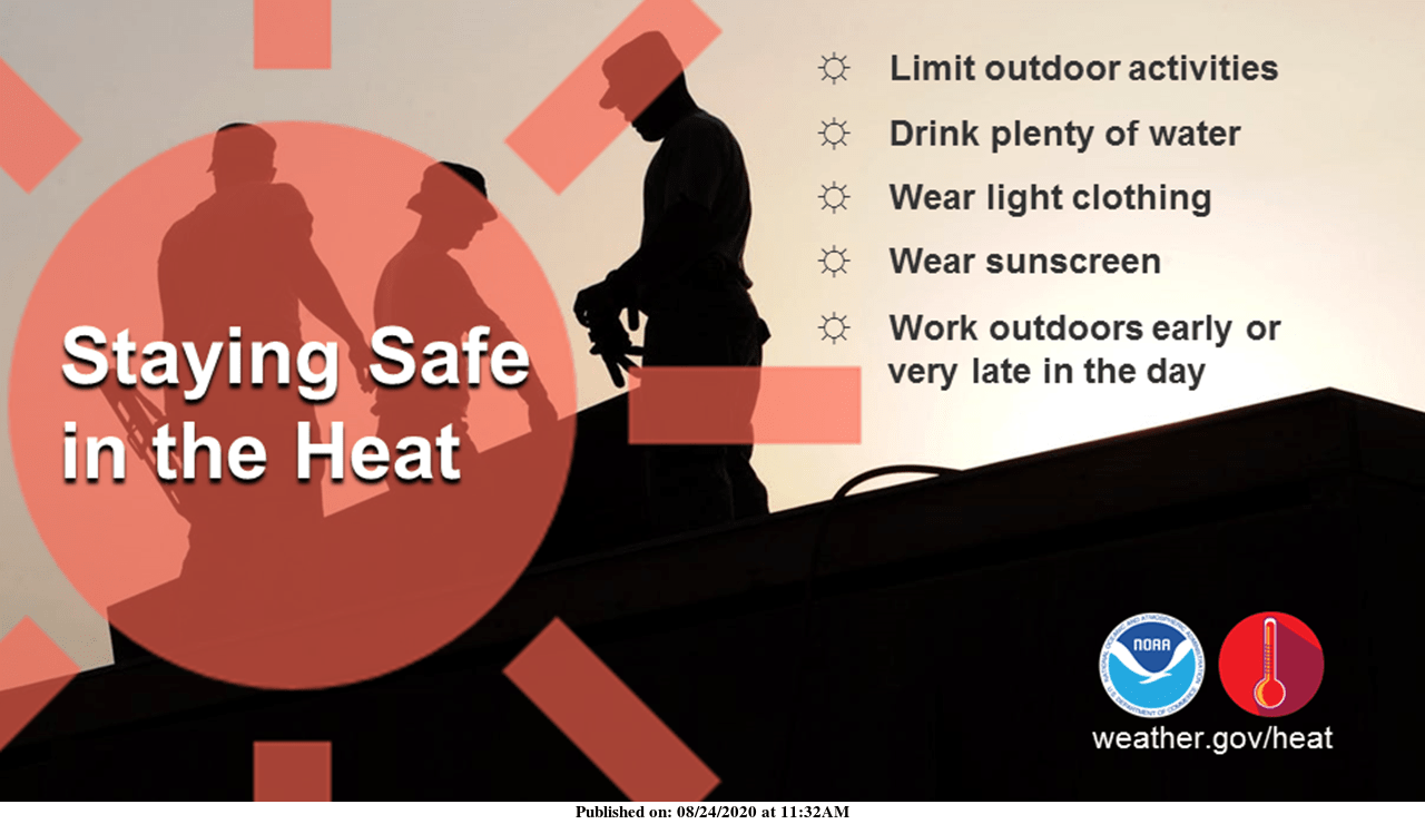
In these hot conditions, people are advised to drink plenty of water, stay out of the sun, take breaks in air conditioning or the shade, reschedule strenuous activities to early morning or evening, check on relatives and neighbors, and always check your parked car for children and pets before locking it. Listen to KCII for weather updates.