

Nearly a year after the derecho caused catastrophic damage across Iowa and the Midwest, the National Weather Service is launching an additional notification system to better distinguish different levels of thunderstorms.
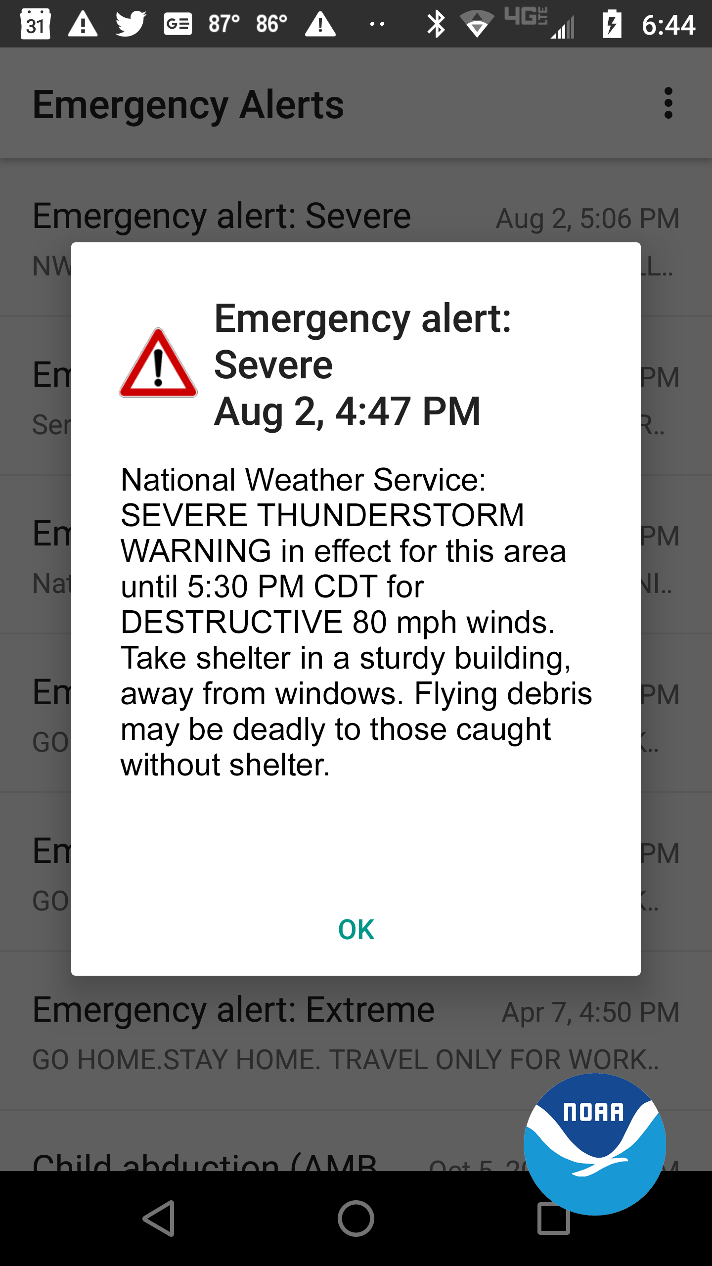
Starting Monday, the service will add a “damage threat” tag to severe thunderstorm warnings, similar to tornado and flash flood warnings. National Weather Service Quad Cities Office Warning Coordination Meteorologist Rich Kinney says three categories have been developed for severe thunderstorm warnings. The criteria for a baseline storm is unchanged and will not activate a Wireless Emergency Alert (WEA) on smartphones within the warned area. The next category for considerable damage is golf ball-sized hail and/or 70 mile per hour winds and will not activate a WEA, but a destructive damage threat of baseball-sized hail and/or 80 mile per hour winds will automatically activate a WEA.
Kinney gives a reminder for Iowans when facing severe weather, “Folks need to have as many sources of weather information as they can get, multiple ways to receive warnings, because we had no weather radio outages during the derecho, [we] had TV stations knocked off the air, some folks lost cell phone coverage. So having redundant ways is really the best way to ensure that you’re going to get your information.”
On average, only 10% of severe thunderstorms reach the destructive category each year nationwide, though 13 of the 22 costliest weather disasters in 2020 were severe thunderstorms. Whenever a severe thunderstorm or tornado warning is issued for Washington County, the KCII Severe Weather Action Team goes live on the air for coverage of the storm. For more information on the damage threat tags, visit this story at kciiradio.com.