

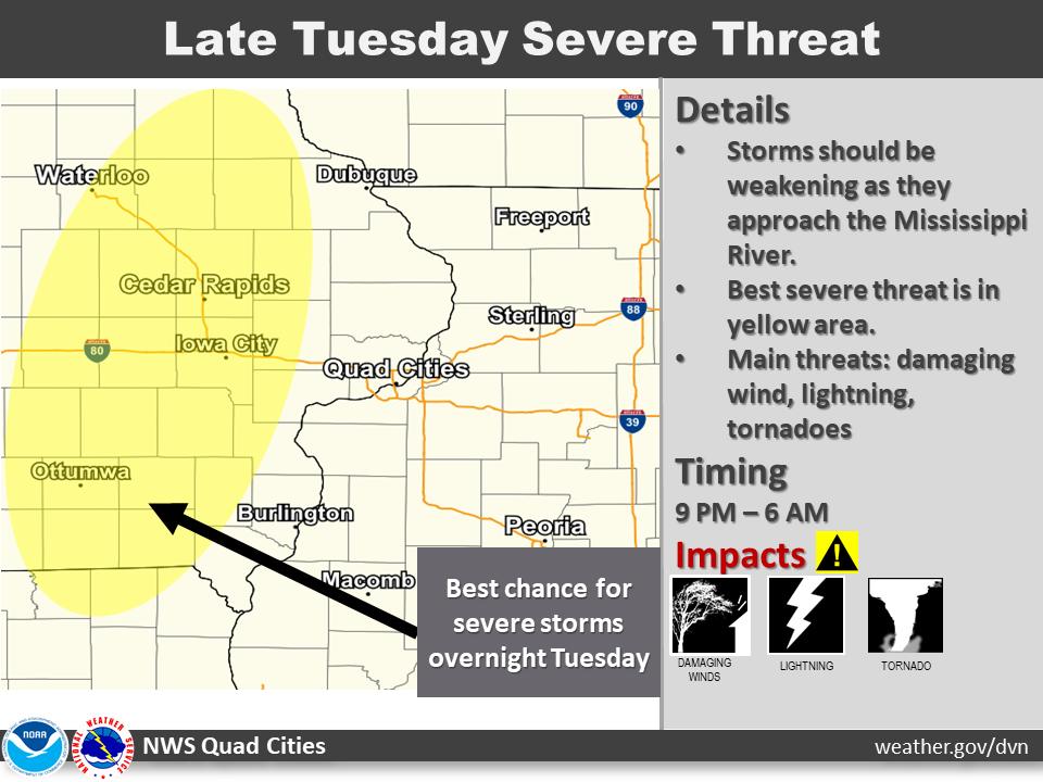
Residents in the KCII listening area should be weather aware as thunderstorms with potential damaging winds, tornadoes, large hail, and frequent lightning are predicted for southeast Iowa.
Washington County and others eastward are under a slight risk for severe thunderstorms Tuesday night, according to the National Weather Service Quad Cities Office. A slight risk means that scattered short-lived and isolated but intense storms are possible. Washington County Emergency Management Coordinator Marissa Reisen encourages residents to think in advance of how a storm could affect them, and to sign up to receive notifications through Alert Iowa, which changed providers last year, “The big thing to remember with the outdoor warning sirens is that they are outdoor warning sirens. They are solely intended to let people who are outside know that they need to head inside, get more information and take shelter because it is no longer safe to be outside. And if you can’t hear the siren in your house, that’s fine you’re not supposed to.”
Washington County’s outdoor sirens no longer sound just for tornado warnings, as the county recently changed its protocol to now include when they have over 70 mile-per-hour winds or hail greater than two inches in diameter. Reisen reminds that these are higher thresholds than a severe thunderstorm warning, which is classified as 58 mile-per-hour winds or higher and three-quarter inch size hail. Whenever a severe thunderstorm or tornado warning is issued for Washington County, the KCII Severe Weather Action Team goes live on air to provide coverage, and if the power goes out, KCII stays on the air with our backup generator.