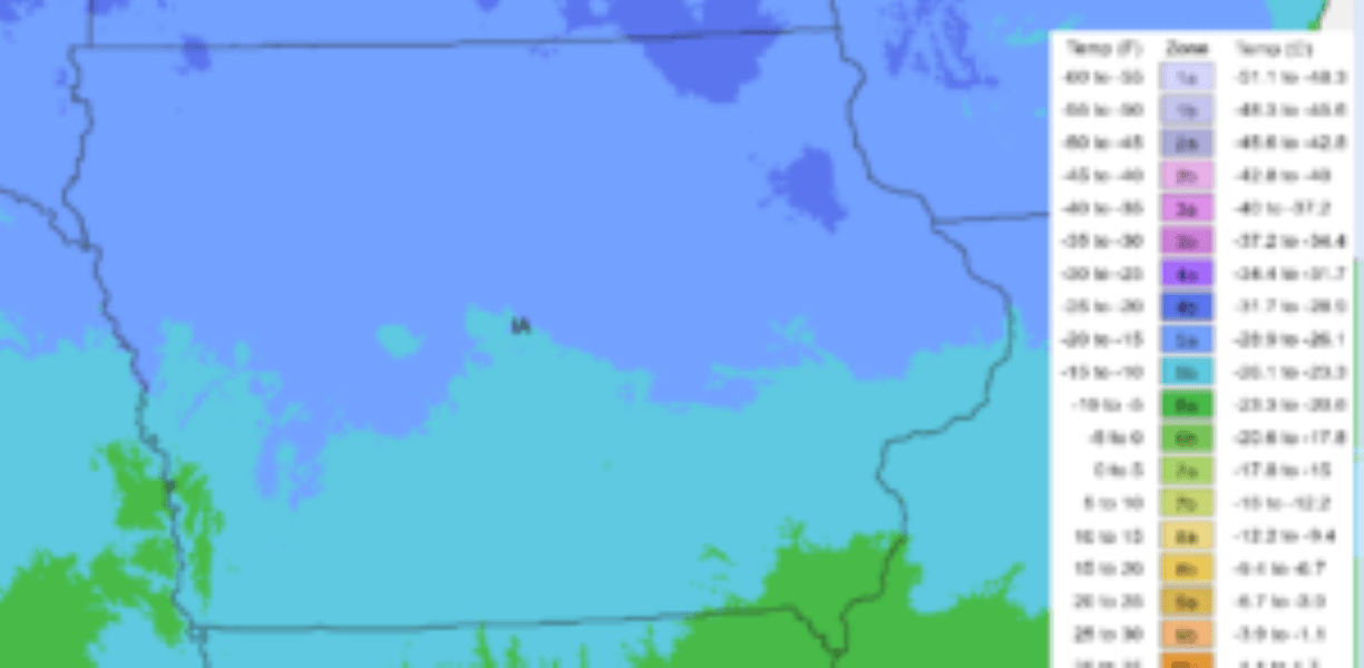
A newly updated version of the Plant Zone Hardiness Map, a key resource that informs the planting decisions of gardeners and growers across the country, was recently released by the United States Department of Agriculture. The new map provides a more precise picture of the average annual minimum temperature conditions across the state thanks to GIS technology. Using data from thousands of monitoring stations across the United States, the map is put together as a standard reference for a plant’s cold tolerance. The map uses data from the past 30 years, which has been reviewed by horticultural, botanical and climatological experts to reflect average coldest winter temperatures and smooth out year-to-year fluctuations. You can find a link to the updated map with this news story at KCIIradio.com.

