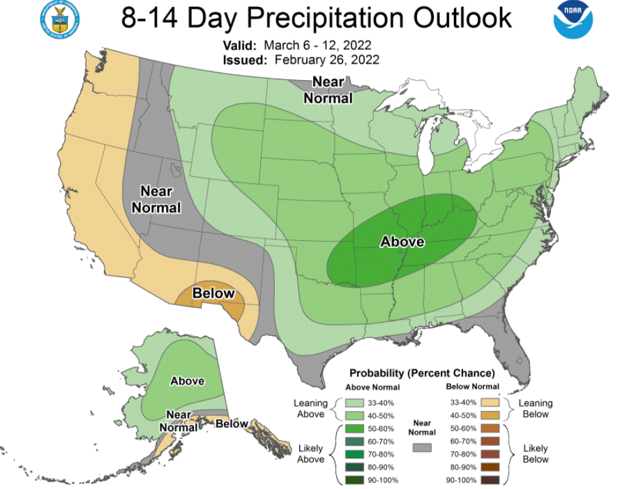
The second flood outlook report from the National Weather Service Quad Cities Office shows a modest increase in likelihood for flooding on the Mississippi River compared to the first report and little or no change in flood chances for tributaries.
The NWS office released its first two reports on February 10th and 24th with the third and final scheduled for March 10th giving an outlook on flood chances for March through May. The latest outlook shows while the overall risk of spring flooding is not high, this does not mean flooding will not occur, with key factors including future precipitation events and snow melt in the Upper Mississippi basin. Snow cover and snow water equivalent are below normal across much of the area, decreasing the overall flood threat. Abnormally dry to moderate drought conditions and near to below soil moisture will also reduce the risk, as well as the risk for long-term flooding. The NWS states that the weather pattern is expected to stay active in the coming weeks which could bring rain, additional snow or a combination of both to the region. Any additional snowfall or heavy rain and the rate of snowmelt will be critical in determining whether spring flooding will occur and the rate of severity.

