

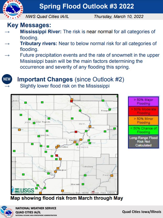
The third and final spring flood outlook was released by the National Weather Service Quad Cities Office Thursday, showing a near normal spring flood risk for the Mississippi River and near to slightly below normal spring flood risk for local tributary rivers.
The flood risk decreased slightly for the Mississippi, with little or no change noted for area tributary rivers since the second outlook. Though the overall risk of spring flooding is not high, this doesn’t mean that flooding won’t occur, with key factors including future precipitation events, and snowmelt in the Upper Mississippi basin. Some factors contributing to the near normal to decreased flood risk include near to below normal soil moisture and winter precipitation, lack of widespread or deep snowpack, with exception of the upper reaches of the Mississippi River basin, and near normal river levels. All of Washington County continues to experience moderate drought intensity, according to the weekly U.S. Drought Monitor.